Tracking strong winds Friday, warming into Memorial Day weekend
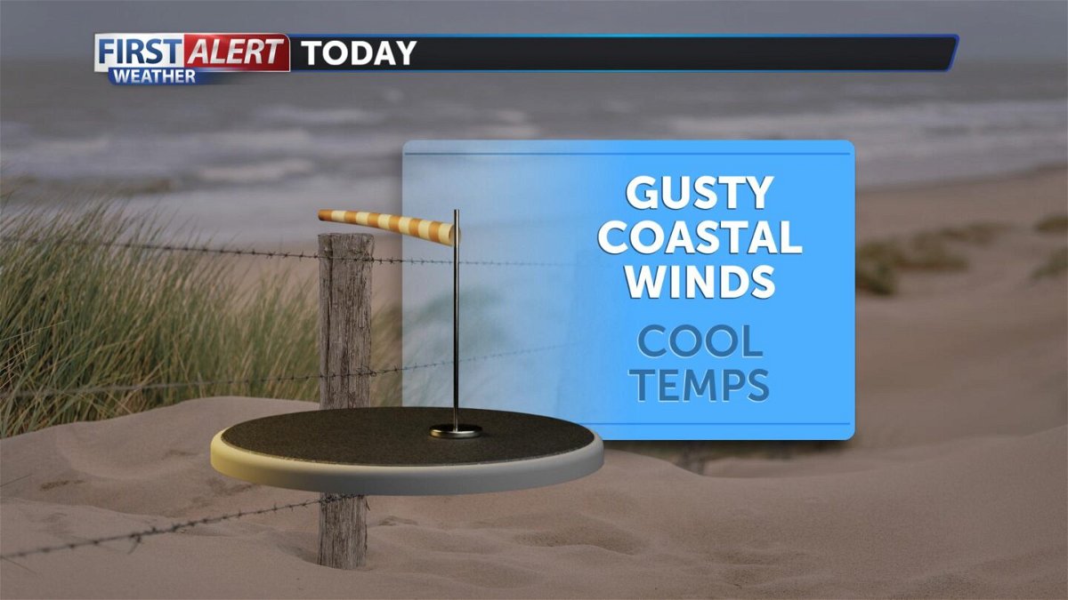
Winds were strong enough overnight Thursday to push out the marine layer near Santa Barbara. Clear skies allowed temperatures to free fall and it will be a cool Friday morning. More clouds will fill back as soon as winds die down. Other areas are waking up to gray and gloomy skies. The marine layer and fog will be dense enough to produce drizzle. Temperatures fall well below average today, back into the 50s and 60s near the beaches. Low pressure moves bringing cool air and gusty winds. South facing beaches will see strong enough winds to clear out lower clouds by the evening. The National Weather Service has issued a Wind Advisory starting at 2pm and expiring at 9pm for the Gaviota Coast.
Cool air exits by Saturday. We will warm up a few degrees with some better clearing by the evening. Most of the area will still be unseasonably cool, temperatures warm into the upper 50s and 60s near the beaches and low 70s and 80s for inland areas. Expect breezy winds each evening, which will help scatter out the marine layer.
We begin a warming trend Sunday, into Memorial Day and even into the extended forecast. Sunday will be pleasant with sunny evening skies and mild temperatures. Your Memorial Day forecast is shaping up beautifully. Expect sunnier skies, temperatures in the upper 60s near the beaches and perfect BBQ weather for the interior. Tuesday and Wednesday we begin to warm even further, most areas will be right around average.
