Shower chances ahead, forecast June 4th Sunday evening

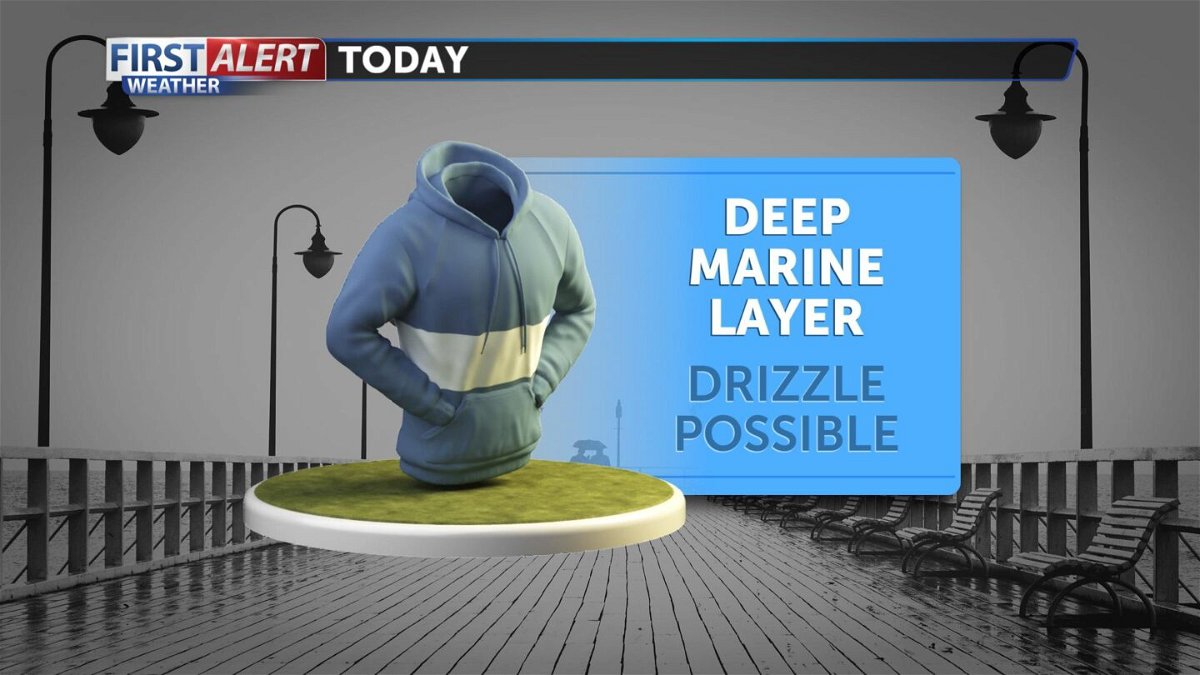
Fog has returned in force once again as the onshore flow deepens. Look for the heavy cloud cover to remain for the overnight and in to early Monday. Lows will be in the 50's and 40's with light patchy drizzle possible. Highs on Monday will struggle to reach the 70's at best with most areas staying in the 60's and even upper 50's.
Looking ahead, tricky areas of low pressure will continue to push onshore from the Pacific. This will keep the onshore flow firmly in place as well as hold the temperatures to below normal levels. We could see widespread drizzle for Monday and even light rain or thunder by early Tuesday. Low pressure will have to drift far enough south in order to gives us anything measurable. Our latest computer forecast model runs are seeing a decent chance that the area of low pressure will get close enough to produce some active weather, especially for interior portions of San Luis Obispo and Santa Barbara Counties. We will monitor closely and update the rain and thunder chances through early Tuesday. Beyond Tuesday, more fog is expected through the middle and end of the work week as all the necessary marine layer variables continue to stay in place. In fact, our long range forecast models see very little change with regard to our "June Gloom" patter right through the middle of the month.
