New interactive web app shows availability of local trails and roads

SANTA BARBARA COUNTY, Calif. – Santa Barbara-based nonprofit Los PadresWatch, has created an interactive map showing public access status for trails and roads across the county through a free web app available here.
The "OpenTrails" app provides a comprehensive look at 1,800 trails and roads from Morro Bay to Santa Monica as well as inland to the Carrizo Plain Monument.
The app not only indicates the status of trails, but which types of uses are allowed, such as off-highway vehicles or horseback riding.
There is also a colorblind-friendly setting within the app.
Interested in a desktop and mobile-friendly version of the app? Follow the link here.
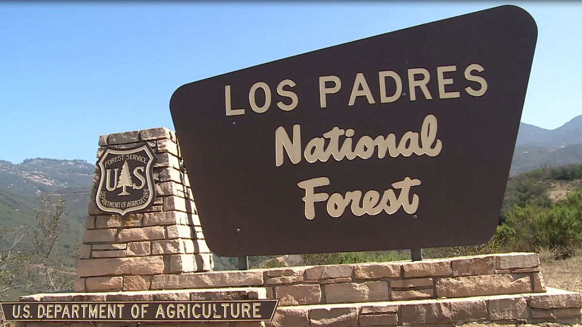
A majority of these recreation routes are found within the Los Padres National Forest and Santa Monica Mountains National Recreation Area, but a notable number can be found in parks and nature preserves.
“There has been a lot of confusion about which trails are open ever since the big winter storms caused extensive damage in and around the Los Padres National Forest,” said ForestWatch’s director of conservation and research and lead developer of the app, Bryant Baker.
