Impacts from hard overnight rain serves as a warning for what’s forecasted ahead
SANTA BARBARA, Calif. – A strong overnight storm with a fast track was hiding more of a punch in certain areas than some Santa Barbara residents might have expected.
This morning after several hours of steady rain, many gauges showed two to four inches of rain in Santa Barbara, Montecito, Goleta and the lower San Marcos Pass.
The impacts were enough to make many people nervous about a much stronger storm set for Sunday night to Tuesday. The National Weather Service out of Oxnard said there is an anticipation for flooding and also strong ocean wind swells.
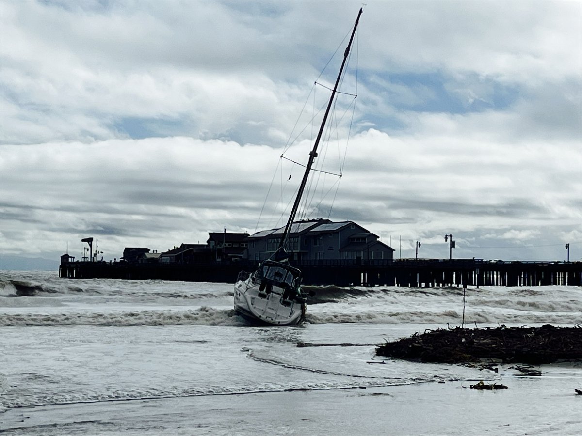
This morning, a boat was spotted onshore on its side at East Beach near the washout for Sycamore Creek.

Many of the urban creeks were on the move, including Mission Creek through Oak Park.
Business owners in areas known for street flooding and where water can enter buildings, such as in the 400 to 600 blocks of East Gutierrez Street, have built up a wall of sand bags and some barriers.
The Santa Barbara Public Works department has barricades up or standing by on many streets in the anticipation of more rain impacts.
The Bucket Brigade volunteers have already announced a day of community help Saturday in Montecito's Manning Park to help with sand bagging.
(More details, video and photos will be added here later today.)
