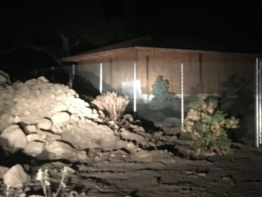
Flood risk map to be released in Montecito on Dec. 5.

MONTECITO, Calif. - Patience is a must in Montecito where repaving a new bridge and other projects are underway.
While some places are making a comeback, other places seem stuck in a Montecito mudslide time warp
Atkin's Engineering is a month away from releasing an updated risk map.
Montecito Fire Chief Kevin Taylor said, "The Debris Flow Risk Map will be released to the public on Thursday, Dec. 5, a 5:30 p.m. at a community meeting at Montecito Union School."
The Partnership for Resilient Communities raised public and private fund to place six ring nets across local creeks to trap debris.
CEO Pat McElroy said, "Right now the anchors have been set, the cross cables are up, and we are hanging the nets right now, nets 5 and 6 right in Buena Vista and San Ysidro Canyon, and we will be completed by the start of the rainy season for 2019 and 2020."
Local agencies including Flood Control are moving forward with a plan to build a Randall Road Debris Basin.
Most of the $20 million project could be covered by federal grants.
If property acquisitions and permits go as planned the basin construction could begin and end in 2021.
