County officials to hold Cave Fire information meeting due to heightened risk of flooding, debris flows
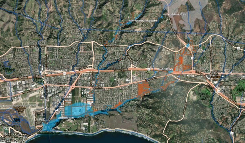
SANTA BARBARA COUNTY, Calif. - Santa Barbara County Officials will be holding an informational community meeting this week to discuss heightened risks of flooding and debris flows in the area of the Cave Fire burn scar.
The meeting will be held on Thursday at 5:30 p.m. at Direct Relief (6100 Wallace Bucknell Rd.).
The public is encouraged to attend to hear from experts about heightened risks of flooding and debris flows due to the Cave Fire burn scar.
The county will evaluate each incoming storm to determine what actions residents should take. Anyone who may be affected by flooding or debris flows should be prepared to take action, including relocating, sheltering in place and evacuation, the county said in a press release.
For a preliminary map of affected areas, as well as preparedness tips and emergency alert sign-ups, visit ReadySBC.org.
